|
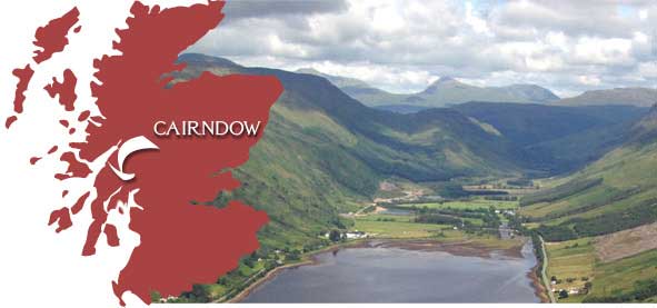
Gazetteer of Cairndow
Land Change from 1905 - Present
|
|
|||||||||||||||||||||||||
|
||||||||||||||||||||||||||
|
Gazetteer of Cairndow
Land Change from 1905 - Present
|
|
|||||||||||||||||||||||||
|
||||||||||||||||||||||||||
| Toggle Land Use Types: (click to enable each) | Points of Interest | Supported by | ||||||||||||||||||
|
|
 |
|
 |